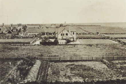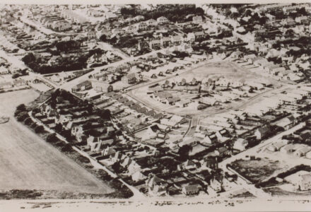
Aerial photos
Aerial views clearly show how Selsey has grown from a village with a population of 1,258 in 1901 to a town today with more than 10,000 people, and still growing. Fields have been replaced by housing and commercial developments, as well as an ever-expanding holiday park. They also illustrate the rapid loss of land to the sea and the measures put in place to protect Selsey.
In order to group photos within this category, the High Street has been chosen as the dividing line between east and west Selsey.
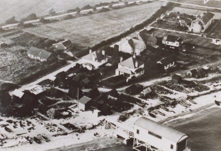
Aerial view of lifeboat station
View image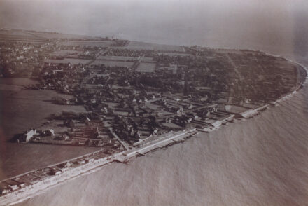
Selsey Bill
View image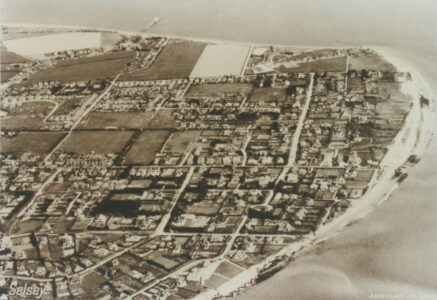
Selsey Bill and the Town
View image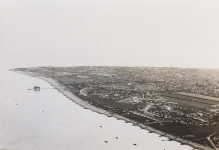
Selsey Bill from north east
View image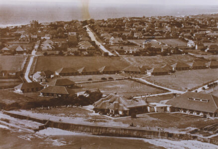
Broadreeds Holiday Camp
View image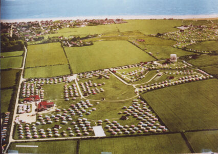
Bunn Leisure caravan site
View image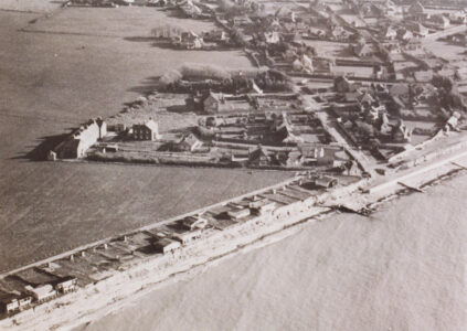
Coastguard Cottages
View image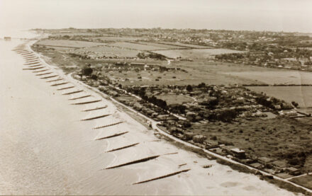
East Beach
View image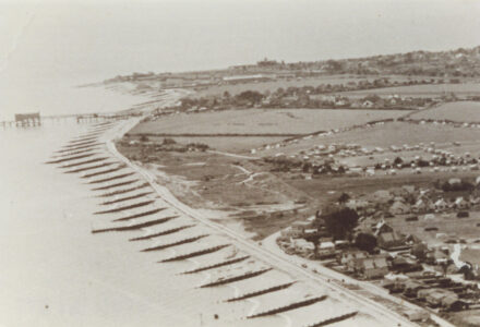
East Beach
View image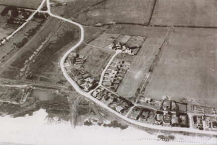
East Beach
View image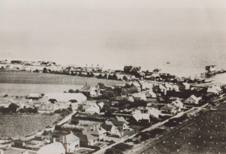
East beach
View image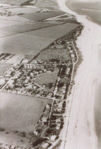
East Beach and Park Crescent
View image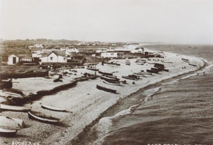
East Beach buildings and fishing equipment
View image