Coastal Erosion / Sea defences photos
Selsey’s shoreline has changed dramatically over the centuries due to the action of the sea with erosion taking an average of 5 to 6 yards a year. The peninsula used to extend a mile further to Mixon Rocks, where the Romans had a quarry and the Saxons allegedly landed. Erosion from storms and the regular action of the sea has affected both west and east sides, a process vividly illustrated in the archive, including the aerial photographs section.
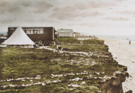
Medmerry Windmill was built in 1750 to replace the earlier tide mill that was threatened by erosion. At the start of the twentieth century a row of temporary chalets and bungalows developed along the top of the cliff at Medmerry beach. These had to be moved back as the cliffs eroded and were finally abandoned by the 1970s. The sea continues to eat into the cliff to the west of the coastguards. Following the Coast Protection Bill of 1946, a sea wall was built at West Beach in 1954. Further defences had to be built below the coastguards in 1998. In November 2013 Medmerry Sea defences were opened. Costing £28m, the largest ever coastal realignment in Britain and the largest open-coast scheme in Europe aims to prevent flooding in Selsey and Pagham.
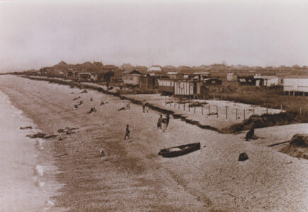
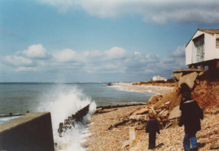
Although it is more sheltered from the prevailing winds, significant erosion has also occurred on the eastern side of Selsey. This is evident from the changing position of the lifeboat houses and the length of their gantries. In 1927 there was a new new boathouse and gangway completed, but by the 1950s erosion left this far away from the shore. During this period, a number of houses, including the old coastguard cottages and several houses in Albion Road, were destroyed by gales. After the sea wall was built in 1955-6, breakwaters were constructed towards Church Norton. Shingle has been added regularly to protect the shoreline, and in November 2021, the spit at Church Norton was breached to protect Pagham beach.
Cliff on West Side
View image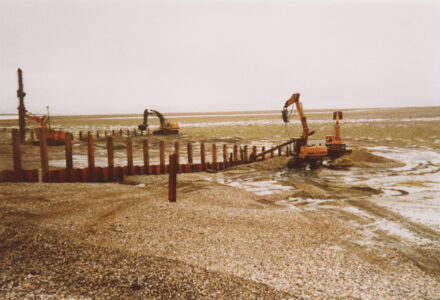
Construction of breakwaters
View image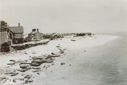
East Beach
View image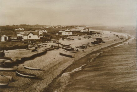
Fishing Boats on East Beach
View image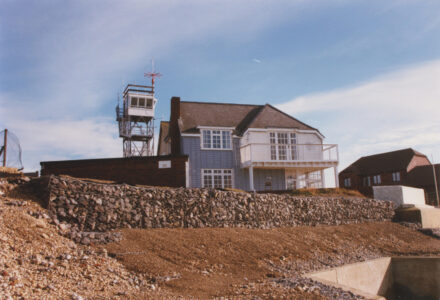
House and sea defences, West Street
View image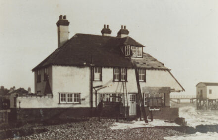
House being washed away
View image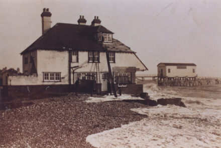
House on beach
View image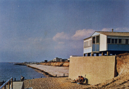
Medmerry Beach
View image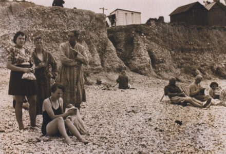
Medmerry Beach
View image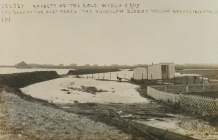
Selsey: Bungalow Sleepy Hollow East Beach
View image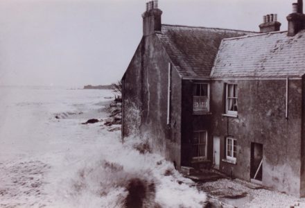
Selsey: Coastal house
View image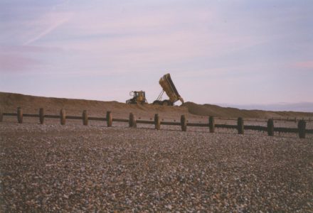
Selsey: Dump Truck dumping shingle at Church Norton
View image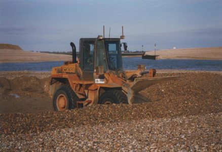
Selsey: Shovel machine on Church Norton Beach
View image