Streets photos
The oldest streets in Selsey are the High Street (formerly Upway), leading to Church Norton and Chichester, Crablands, West Street, and East Street; in 1878 most buildings were still along these streets.
Selsey’s streets have changed their names. For example, East Street was first called Cotland Lane (1778), by 1899 it was East Road, but only to where Manor Rd ends, and Fish (or Fishshops) Lane included what is now the eastern part of East Street and Albion Road.
From 1899 lanes and tracks became streets as the village grew, starting with Mill Lane and New Road, and Manor Road in the planning. The OS map of 1912 shows School Lane, Clayton Road, Seal Lane, with plans for Grafton Road, James Street, Kingsway, Church Road and Beach Road.
By 1938 many fields had been built on, producing new sets of streets, a process that intensified in the 1960s. Newer streets were named after fields (New Road became Hillfield Road) or people, including Lords of the Manor (Peachey, Grafton) local families (Woodland, Clayton, Arnell) and, more recently, after Coxswains of Selsey Lifeboat, resulting in Barnes Close, Lawrence Close and Pennycord Close in more recent developments.
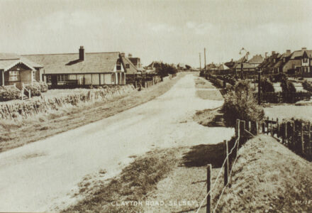
Clayton Road
View image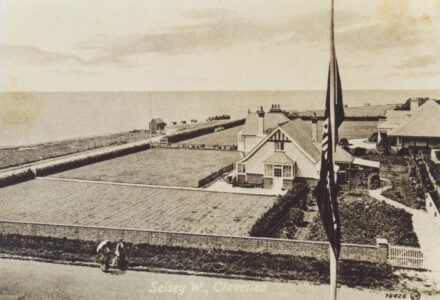
Cloverlea West Selsey
View image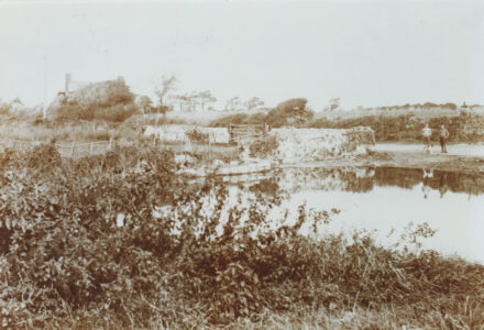
Crablands Pond
View image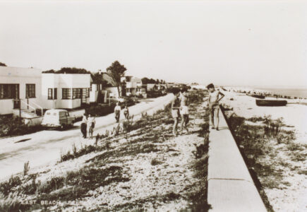
East Beach
View image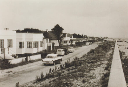
East Beach road
View image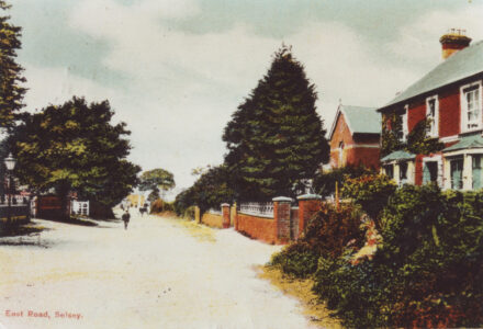
East Road
View image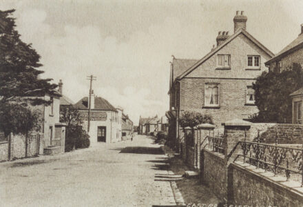
East Road
View image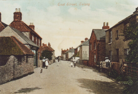
East Street
View image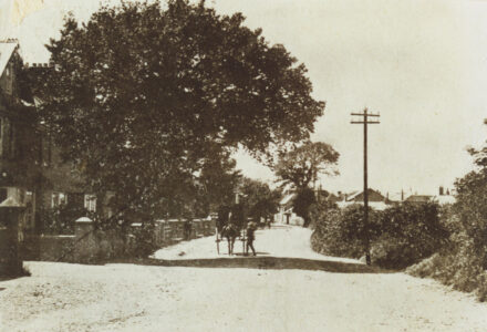
East Street
View image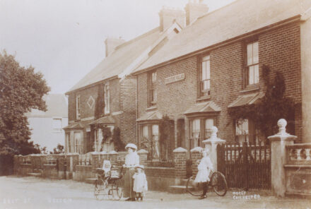
“Foresters Villas” East Street
View image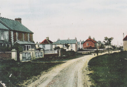
Grafton Road
View image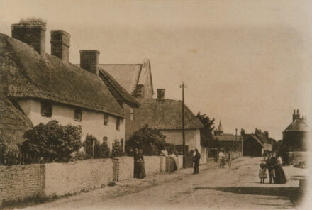
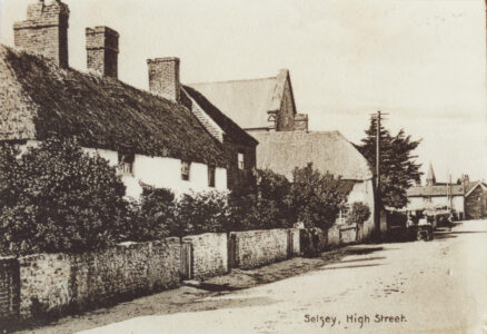
High Street
View image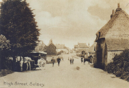
High Street
View image